Mississippi River System
Quote:~
The Mississippi River and its basin has shaped the history of North America, influencing Indian life, exploration, military campaigns, pioneering and settlement, politics, folk and high culture, civil rights, and economic development.
Home to diverse and distinctive species of flora and fauna, it was first civilized between 500 AD and 1500 AD by agrarian, mound-building Mississippian Indians. Beginning in 1541, European explorers, traders, and adventurers traversed the Mississippi Valley in the service of Spain; France; Britain; and later, the United States. Before losing the Upper Mississippi Valley and Canada to Britain in 1763, France briefly delivered its claims to the Louisiana Territory to Spain. France regained Louisiana in 1802, only to sell it to the Americans in 1803. The Louisiana Purchase ended an eighteen-year dispute, at last opening the rich port city of New Orleans to American rivermen and seaman.
From the Revolution onward, the Mississippi River has witnessed American history. Revolutionary militia general George Rogers Clark fought at Kaskaskia, in Illinois country, in 1778; Lewis and Clark wintered on the Mississippi in 1803~1804 on their way to explore Thomas Jefferson's Louisiana Purchase; Andrew Jackson defeated the British at New Orleans in 1815; the Missouri Compromise debate of 1819~1821 over the status of slavery west of the river polarized America into proslavery and antislavery forces; Chief Black Hawk's 1832 defeat in Illinois, followed by the forced march of the Cherokees across the frozen Lower Mississippi, marked the extirpation of America's woodland Indians; Mormon prophet Joseph Smith was murdered at Nauvoo, Illinois, in 1844; Ulysses S. Grant turned the tide of the Civil War at Vicksburg, Mississippi, in 1863; and American life was forever marked by the eras of Mississippi Valley slavery, the Jim Crow laws there, and the civil rights revolution of the 1950s and 1960s.
The economic history of the Mississippi River is one of technological innovation, beginning with Indian canoes and frontier keelboats and flatboats, moving into the steamboat age, and culminating in the twentieth-century development of diesel-powered towboat and barge commerce. The first Mississippi rivermen were Indians, paddling their sleek, wooden canoes and crude "bullboats" up and down its waters. Immediately following the American Revolution, keelboatmen steered sleek, prowed, sixty-foot-long craft swiftly downstream and then worked very hard to inch cargoes of coffee, sugar, and other trade goods upstream. The introduction in 1811 of steamboats on the western rivers, however, quickly ran the keelboats out of business.
Interestingly, the crude, inexpensive nonsteam flatboat (introduced in the late 1700s) endured well past the advent of steam power and the Civil War. Flatboats were flat-bottomed, box-shaped craft averaging fifty feet in length and twelve feet in width. Flatboats carried pork, corn, furs, hardy fruits and vegetables, and whiskey downstream only. Having sold their loads and boats (as scrap lumber), flatboatmen walked home along the dangerous Natchez Trace route or, after 1811, purchased deck passage aboard northbound steamers.
The keelboat and flatboat workers did not always conform to the rough, tough "alligator horse" image portrayed in folktales and published stories about Mississippi River heroes like Davy Crockett (1786–1836) and Big Mike Fink (1770?–1823), the "king of the river." Many early boatmen were coarse and violent frontiersmen, but as time progressed a boating workforce emerged, characterized by more civilized family men and young farm boys. The average nonsteam riverman was a white Ohio and Mississippi Valley male of English or Celtic ancestry, averaging twenty-eight years of age. Antebellum and postbellum lumber raft crews ~ navigating large log rafts down the Ohio and Mississippi Rivers ~ fit most of this description except that this group included more Scandinavian American raftsmen.
The workaday Mississippi steamboat was a small (approximately three-hundred-ton) craft exhibiting little gilt or fancy trappings. As with flatboat and keelboat commerce, peak steamboat shipping time was during high water; the high waters of late fall and early spring greatly reduced the chances of running aground. At those times, the Mississippi was dotted with steamers, crewed by both white and African American boatmen and carrying pork, whiskey, lead, tobacco, cotton, and ticketed passengers. By the 1850s, however, the railroads had begun eroding the steamboat's economic position. The steamers were ultimately succeeded in 1903 by screw-propellered steam ~ and, later, diesel-powered "towboats" pushing fleets of lashed river barges up and downstream.
In the realm of American culture and arts, the Mississippi River valley has proved seminal to the work of authors ranging from Mark Twain (1835~1910) to William Faulkner (1897~1962). Its environment, wildlife, and working folk have been painted by George Caleb Bingham (1811~1879), John James Audubon (1785~1851), and Karl Bodmer (1809~1893). And every indigenous form of American music ~ gospel, blues, country, jazz, and rock and roll ~ was born along the banks of, and aboard, the boats plying this great river.
Twain, once a steamboat pilot, referred to the Mississippi River valley as "the heart of America." In all aspects of American culture, the Mississippi River and its people reflect the core of the American experience.
Credit:~ (Summarized from:)
Michael Allen. Western Rivermen, 1763–1861: Ohio and Mississippi Boatmen and the Myth of the Alligator Horse. Baton Rouge: Louisiana State University Press, 1990.
Baldwin, Leland D. The Keelboat Age on Western Waters. Pittsburgh, Pa.: University of Pittsburgh Press, 1941.
Haites, Eric F., James Mak, and Gary M. Walton. Western River Transportation: The Era of Early Internal Development, 1810–1860. Baltimore: Johns Hopkins University Press, 1975.
Hunter, Louis C. Steamboats on the Western Rivers: An Economic and Technological History. Cambridge, Mass.: Harvard University Press, 1949. Reprint, New York: Dover Publications, 1993.
Saxon, Lyle. Father Mississippi. New York: Century, 1927.
Twain, Mark. Life on the Mississippi. Boston: Osgood, 1883. Reprint, New York: Oxford University Press, 1990.
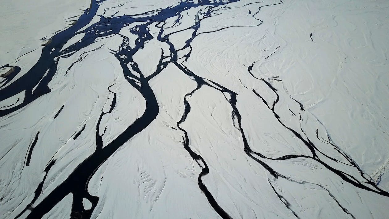
From its headwaters at Lake Itasca in Minnesota, the Mississippi runs over 3700 kms to its mouth in the Gulf of Mexico, some 145 kms below New Orleans, Louisiana. The Mississippi River drainage basin is the fourth largest in the world, over 4.76 million square kms, and includes 41% of the contiguous United States (portions of 31 states) and parts of two Canadian provinces.
The Mississippi basin stretches from the Rocky Mountains in the West to the Appalachian Mountains in the East. Tributaries of the Mississippi include the second and third largest rivers in the United States, the Ohio and Missouri, as well as numerous smaller, yet still significant rivers.
The river can be divided into two segments: the Upper Mississippi from its headwaters through Minneapolis and St. Louis to the Ohio, 2120 kms, and the Lower Mississippi, from the Ohio to the Gulf, 1580 kms. At 485 kms above the Mississippi's mouth, the Mississippi flows are shared with its principal distributary, the Atchafalaya River. This division results in the Atchafalaya receiving an average of 30 percent of the flow at that latitude while the remaining 70 percent is carried by the Mississippi.
From Lake Itasca (440 m above MSL) to Minneapolis, the upper Mississippi meanders through glacial outwash, plains and moraines. From Minneapolis south it flows through valleys with well-defined floodplains and valley walls. Just north of the junction of the Ohio and the Mississippi, the alluvial valley of the Mississippi River begins. This valley of 90,650 kms falls from an elevation of 91.5 m above MSL at Cairo to sea level at the Gulf of Mexico some 1580 river kms distant. Between Cairo and Vicksburg, it is joined by the Arkansas River. The valley varies in width from 32 kms to 129 kms across with an average width of 73 kms. At Vicksburg, Mississippi, 874 kms to the south of Cairo, the mean annual flow is nominally 16,510 m. The climate along the river is continental with annual rainfall maximums varying from 200 cm in the south to 110 cm in the north.
Note:~ Figures summarized from U.S. Army Corps of Engineers flood study data.
Quote:~
Length: River length is a difficult measurement to pin down because the river channel is constantly changing. For example, staff at Itasca State Park, the Mississippi's headwaters, say the Mississippi is 2,552 miles long. The US Geologic Survey has published a number of 2,300 miles (3,705 kilometers), the EPA says it is 2,320 miles long, and the Mississippi National River and Recreation Area maintains its length at 2,350 miles. At the headwaters of the Mississippi, the average surface speed of the water is near 1.2 miles per hour - roughly one-third as fast as people walk. At New Orleans, on 2/24/2003, the speed of the river was 3 miles per hour.
Width: At Lake Itasca, the river is between 20-30 feet wide, the narrowest stretch for its entire length.The Mississippi is more than four miles wide at Lake Onalaska. Near LaCrosse, Wisconsin, Mississippi water held behind Lock and Dam #7 and water held back by damming the Black River combine to form this broad reach of the Mississippi River.
Historically, the widest part of the Mississippi is Lake Pepin. More than two miles wide, twenty miles long and 10,500 years old, Lake Pepin was formed by the Chippewa River! Sand and other materials carried by the Chippewa sink to the river bottom where the Chippewa and Mississippi join. The accumulation of these materials form a natural dam which in turn holds back the lake's water. Lake Pepin is located between Wisconsin and Minnesota. Red Wing is on the upstream end and Read's Landing is on the downstream end.
Depth: At its headwaters, the Mississippi is less than 3 feet deep. The river's deepest section is between Governor Nicholls Wharf and Algiers Point in New Orleans where it is 200 feet deep. Elevation: The elevation of the Mississippi at Lake Itasca is 1,475 feet above sea level. It drops to 0 feet above sea level at the Gulf of Mexico. More than half of that drop in elevation occurs within the state of Minnesota.
Watershed Area: The Mississippi River Basin or Watershed drains 41% of continental United States. Thirty-one states and 2 Canadian provinces are included in the watershed. The total area drained by the watershed is between 1.2 and 1.8 million square miles.
Volume: At Lake Itasca, the average flow rate is 6 cubic feet per second. At Upper St. Anthony's Falls, the northernmost Lock and Dam, the average flow rate is 12,000 cubic ft/second. At New Orleans, the average flow rate is 600,000 cubic feet per second.
At St. Anthony Falls, the equivalent of 3 semi-trailers full of water go over the falls every second.
At New Orleans, the equivalent of 166 semi-trailers of water flow past Algiers Point each second.
Sediment Load: The Mississippi carries an average of 436,000 tons of sediment each day. Over the course of a year, it moves an average of 159 million tons of sediment. Averages have ranged from 1,576,000 tons per day in 1951 to 219,000 in 1988.
Over the centuries, the Mississippi and its tributaries have carried soil and dissolved particles from one part of the continent and deposited them in another part of the continent. The Mississippi Alluvial Plain stretches from below Cairo, Il all the way to the Gulf of Mexico, nearly 600 miles. The north american continental shelf ends at Baton Rouge, La and land comprising the Mississippi Delta south of Baton Rouge has been built of soil carried by the Mississippi River.
Water supply: Communities up and down the river use the Mississippi to obtain fresh water and to discharge their industrial and municipal waste. We don't have good figures on water use for the whole Mississippi River Basin, but we have some clues. A January, 2000 study published by the Upper Mississippi River Conservation Committee states that close to15 million people rely on the Mississippi River or its tributaries in just the upper half of the basin (from Cairo, Il. to Minneapolis, MN). A frequently cited figure of 18 million people using the Mississippi River Watershed for water supply comes from a 1982 study by the Upper Mississippi River Basin Committee. The Environmental Protection Agency simply says that more than 50 cities rely on the Mississippi for daily water supply.
Commerce: For nearly 200 years agriculture has been the primary user of the basin lands, continually altering the hydrologic cycle and energy budget of the region. The value of the agricultural products and the huge agribusiness industry that has developed in the basin produces 92% of the nation's agricultural exports, 78% of the world's exports in feed grains and soybeans, and most of the livestock and hogs produced nationally. Sixty percent of all grain exported from the US is shipped via the Mississippi River through the Port of New Orleans and the Port of South Louisiana.
In measure of tonnage, the largest port in the world is located on the Mississippi River at LaPlace, La. Between the two of them, the Ports of New Orleans and South Louisiana shipped more than 286 millions tons of goods in 2001. Shipping at the lower end of the Mississippi is focused on petroleum and petroleum products, iron and steel, grain, rubber, paper and wood, coffee, coal, chemicals, and edible oils.
Navigation Channel: To move goods up and down the Mississippi, the U.S. Army Corps of Engineers maintains a 9-foot (2.7m) shipping channel from Baton Rouge, La to Minneapolis, Mn. From Baton Rouge past New Orleans to Head of Passes, a 45 foot channel is maintained to allow ocean-going vessels access to ports between New Orleans and Baton Rouge.
Wildlife: The Mississippi River and its floodplain are home to a diverse population of living things:
At least 260 species of fishes, 25% of all fish species in North America. Forty percent of the nation's migratory waterfowl use the river corridor during their Spring and Fall migration. Sixty percent of all North American birds (326 species) use the Mississippi River Basin as their migratory flyway.
From Cairo, Il, upstream to Lake Itasca, there are 38 documented species of mussel. On the Lower Mississippi, there may be as many as 60 separate species of mussels. The Upper Mississippi is host to more than 50 species of mammals. At least 145 species of amphibians and reptiles inhabit the Upper Mississippi River environs.
Credit:~ National Park Service, U.S. Department of the Interior.
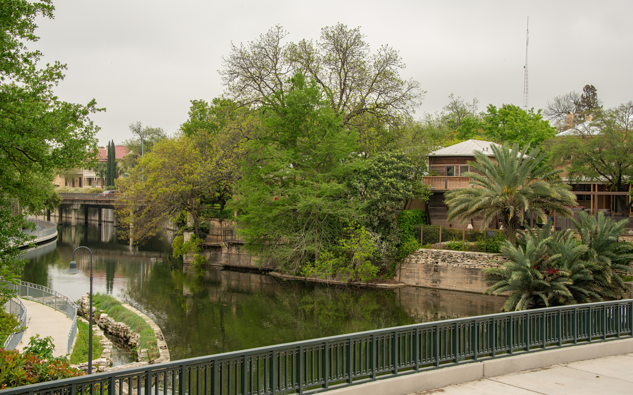
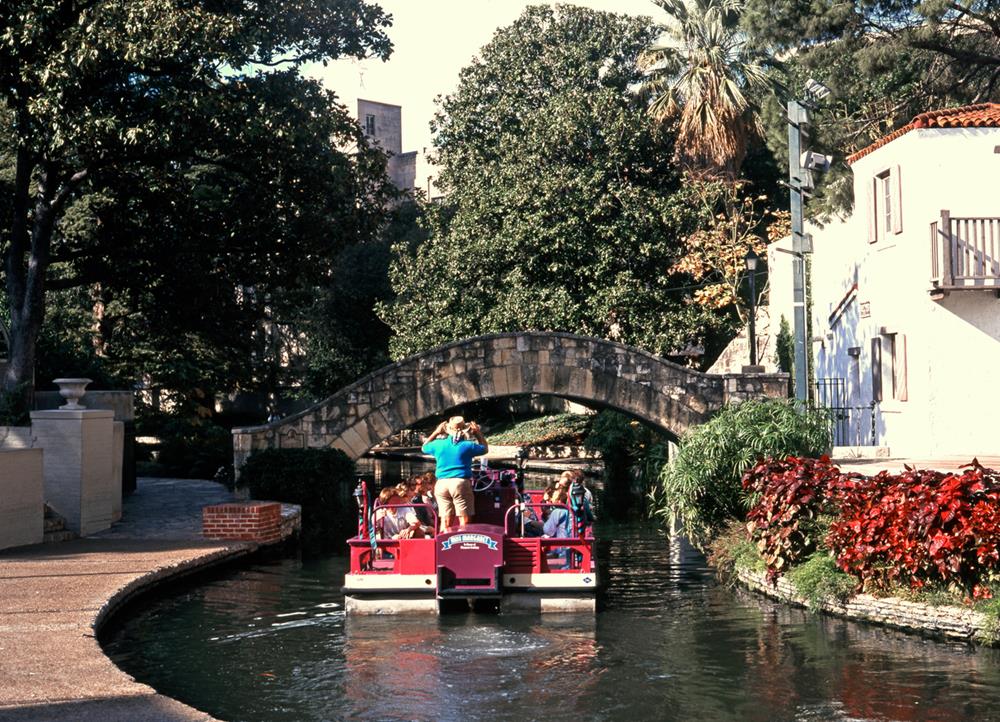
The Mississippi River system forms the world's largest navigable waterway.
In Mark Twain’s day, steamboat travel along the great Mississippi River added a patina of glamour to this working river, a major artery of trade. But as the river grew in economic importance, engineers wanted to harness the Mississippi’s power, from its headwaters in Minnesota to the Gulf of Mexico.
Navigation dams converted the upper stretches of the river into a series of large, open pools of water, while levees disconnected as much as 90 percent of its floodplain, especially south of St. Louis. Seasonal floodwaters could no longer spread wide, offering a nursery for fish and an expanded shoreline for birds. Altering the river in this way has proven to be an unsustainable management method. Since the epic flood of 1993, the U.S. Army Corps of Engineers, charged with managing the nation’s waterways, instituted sweeping changes in how it assesses navigation improvements on the Mississippi River, giving equal consideration to the environment.
Today's Mississippi is very different from the one Twain and others fell in love with ~ though it still sustains much of its former wildlife diversity.
Quote:~
'The Mississippi is well worth reading about. It is not a commonplace river, but on the contrary is in all ways remarkable. Considering the Missouri its main branch, it is the longest river in the world ~ four thousand three hundred miles. It seems safe to say that it is also the crookedest river in the world, since in one part of its journey it uses up one thousand three hundred miles to cover the same ground that the crow would fly over in six hundred and seventy-five. It discharges three times as much water as the St. Lawrence, twenty-five times as much as the Rhine, and three hundred and thirty-eight times as much as the Thames. No other river has so vast a drainage-basin: it draws its water supply from twenty-eight States and Territories; from Delaware, on the Atlantic seaboard, and from all the country between that and Idaho on the Pacific slope ~ a spread of forty-five degrees of longitude. The Mississippi receives and carries to the Gulf water from fifty-four subordinate rivers that are navigable by steamboats, and from some hundreds that are navigable by flats and keels. The area of its drainage-basin is as great as the combined areas of England, Wales, Scotland, Ireland, France, Spain, Portugal, Germany, Austria, Italy, and Turkey; and almost all this wide region is fertile; the Mississippi valley, proper, is exceptionally so.'
Credit:~ Chapter 1 of Life on the Mississippi, by Mark Twain.